Data Collection
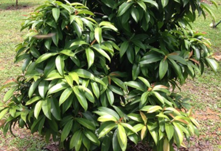
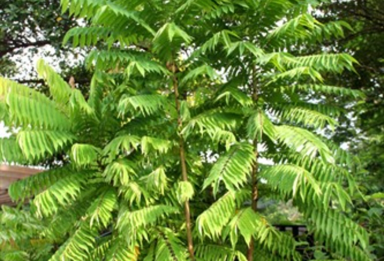
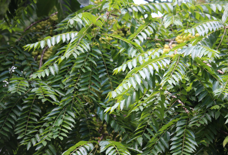
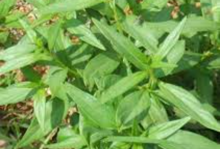
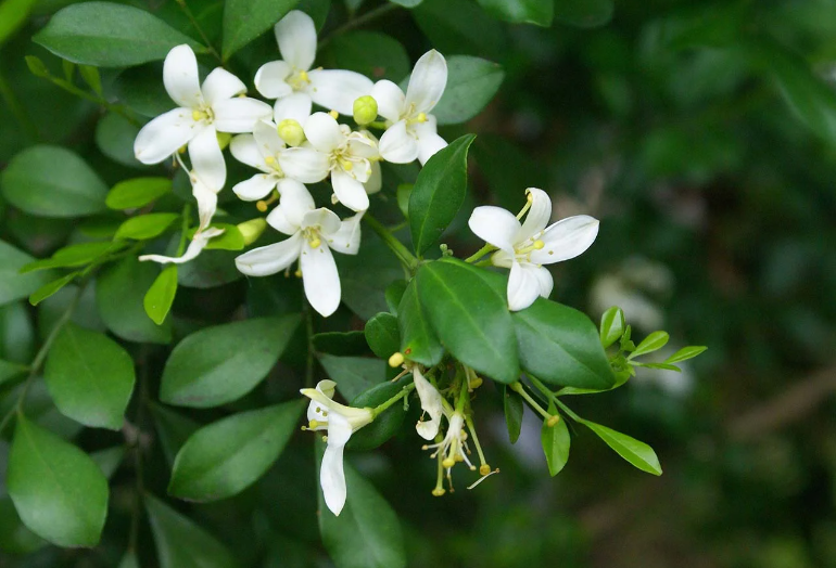
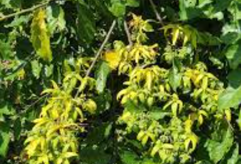
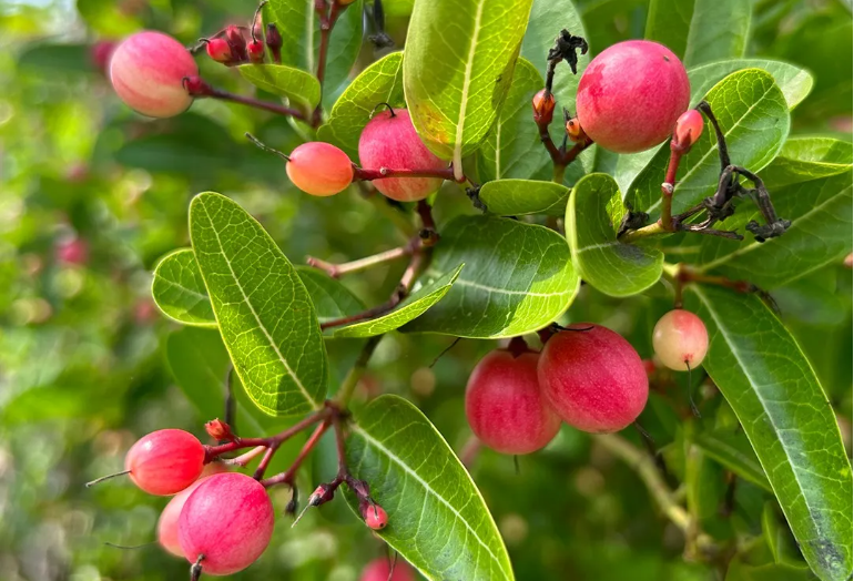
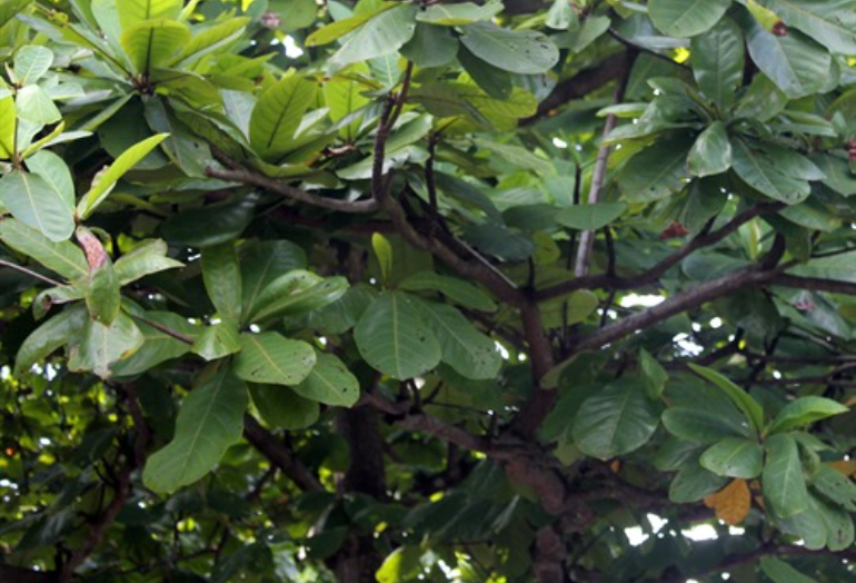
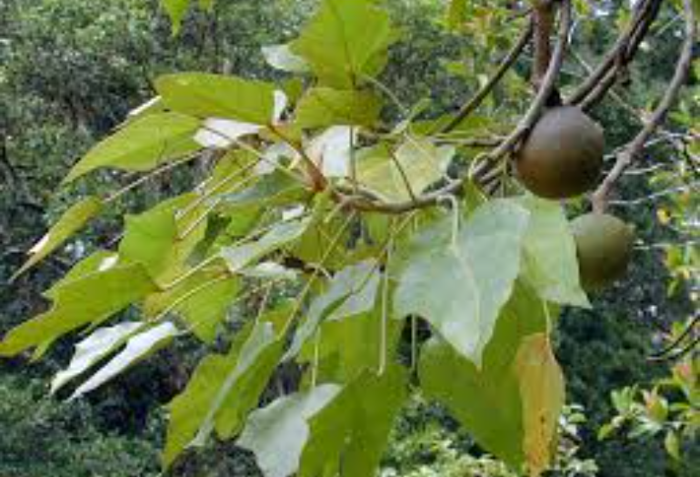
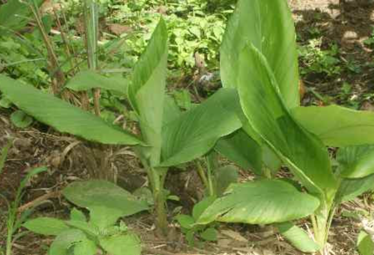
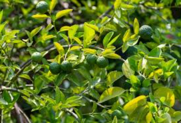
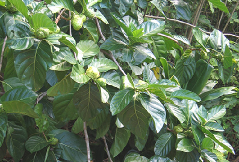
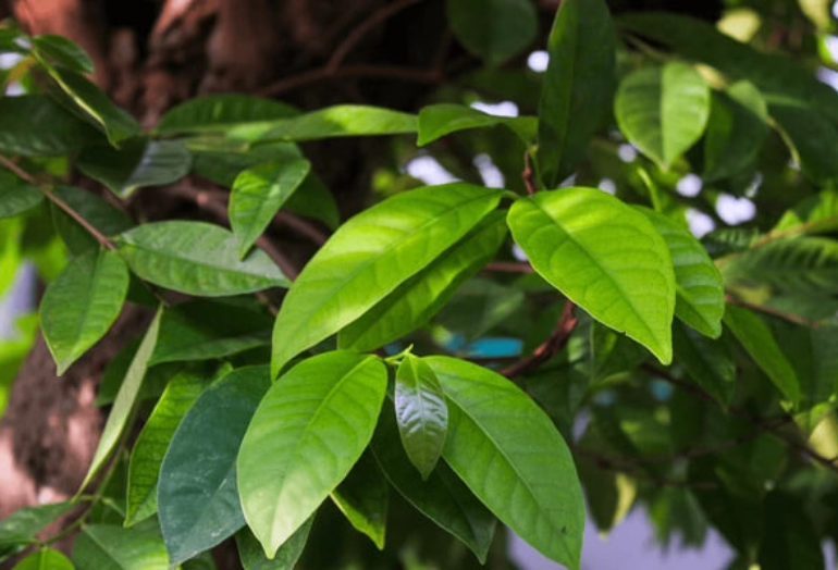
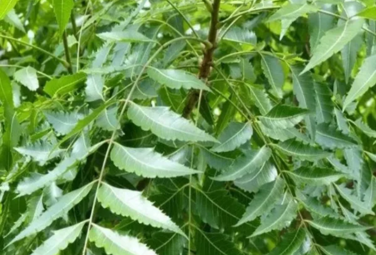
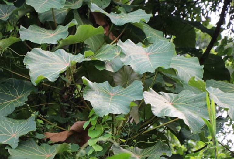
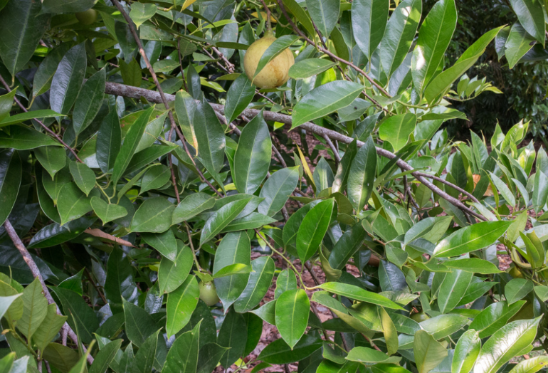
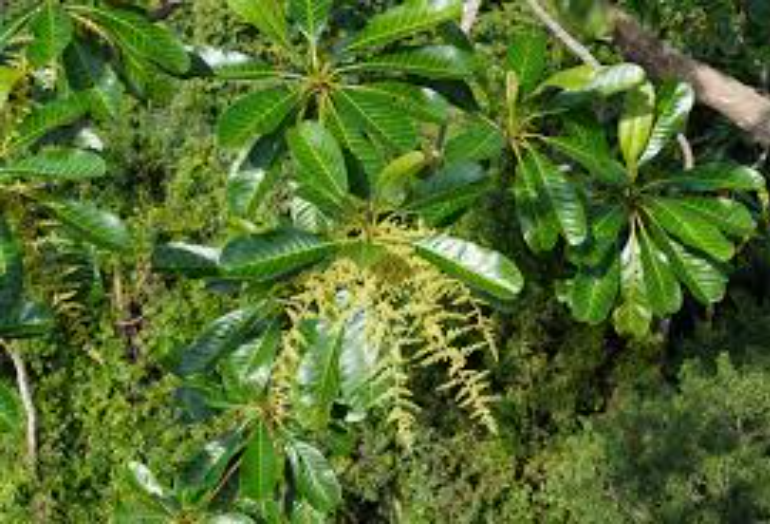
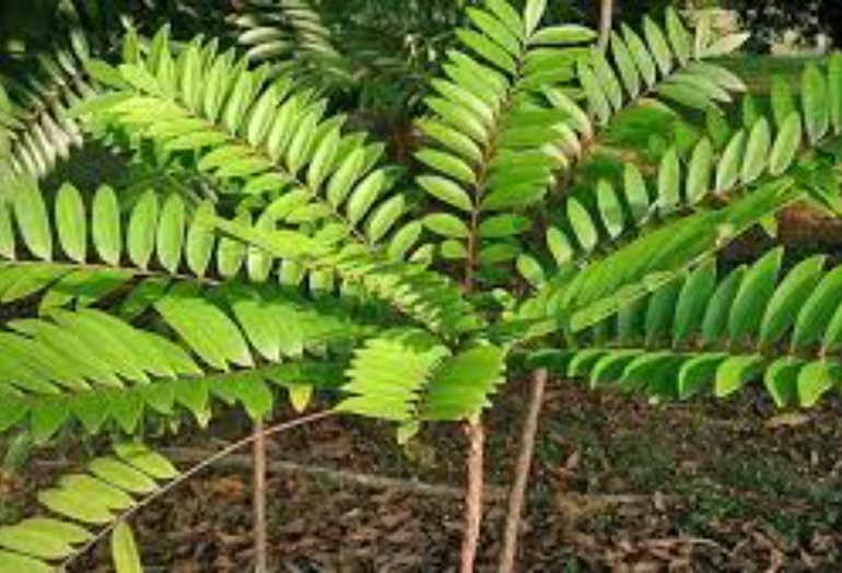
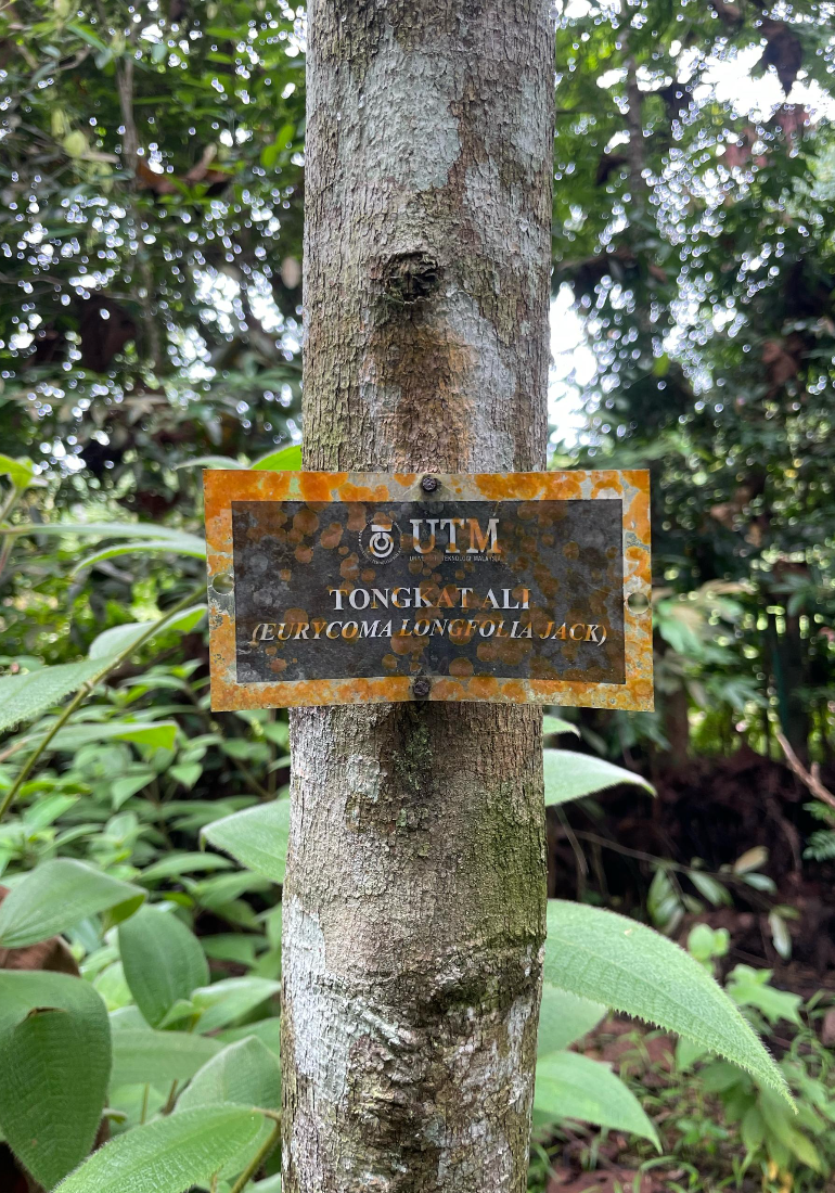
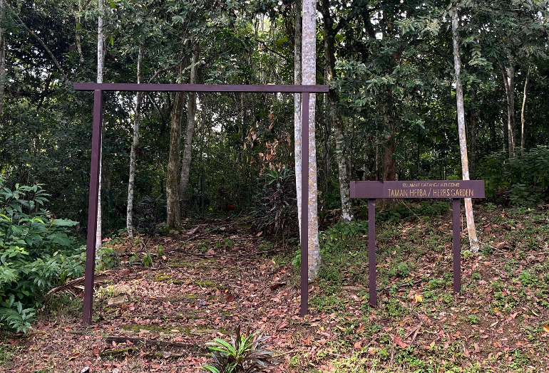
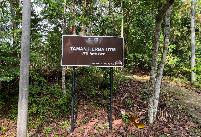
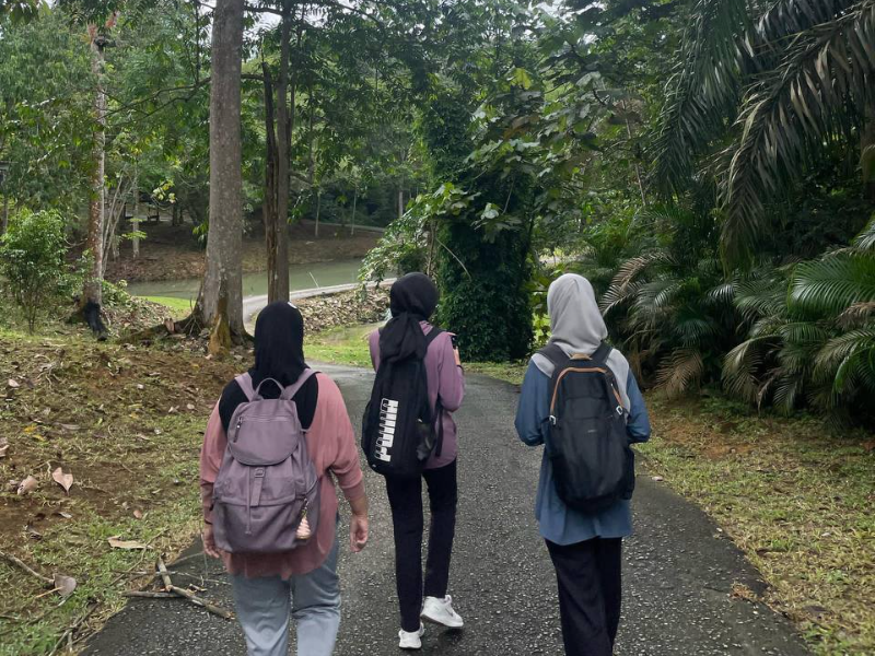
The first step involved collecting spatial data on rare plants and herbarium trees within Taman Herba and the nearby plant nursery.
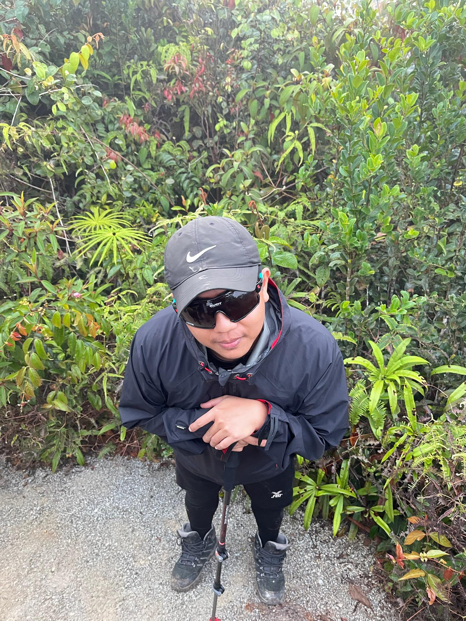
Due to GPS Montana device malfunctions, mobile GPS applications were used to record accurate coordinate data for each plant.
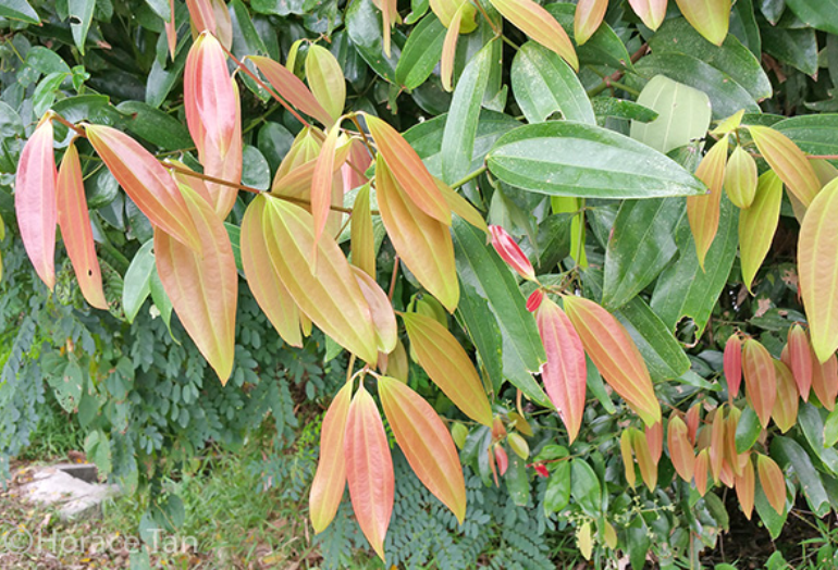
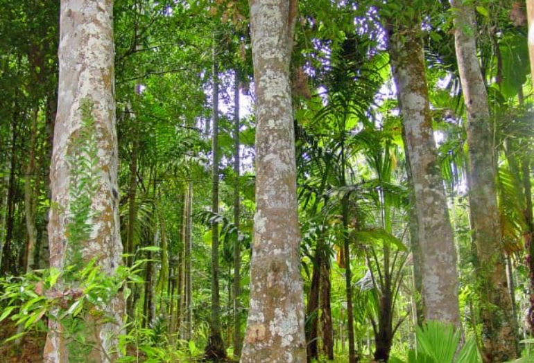
Each tree’s location was documented with its species name, and photographs were taken for reference.
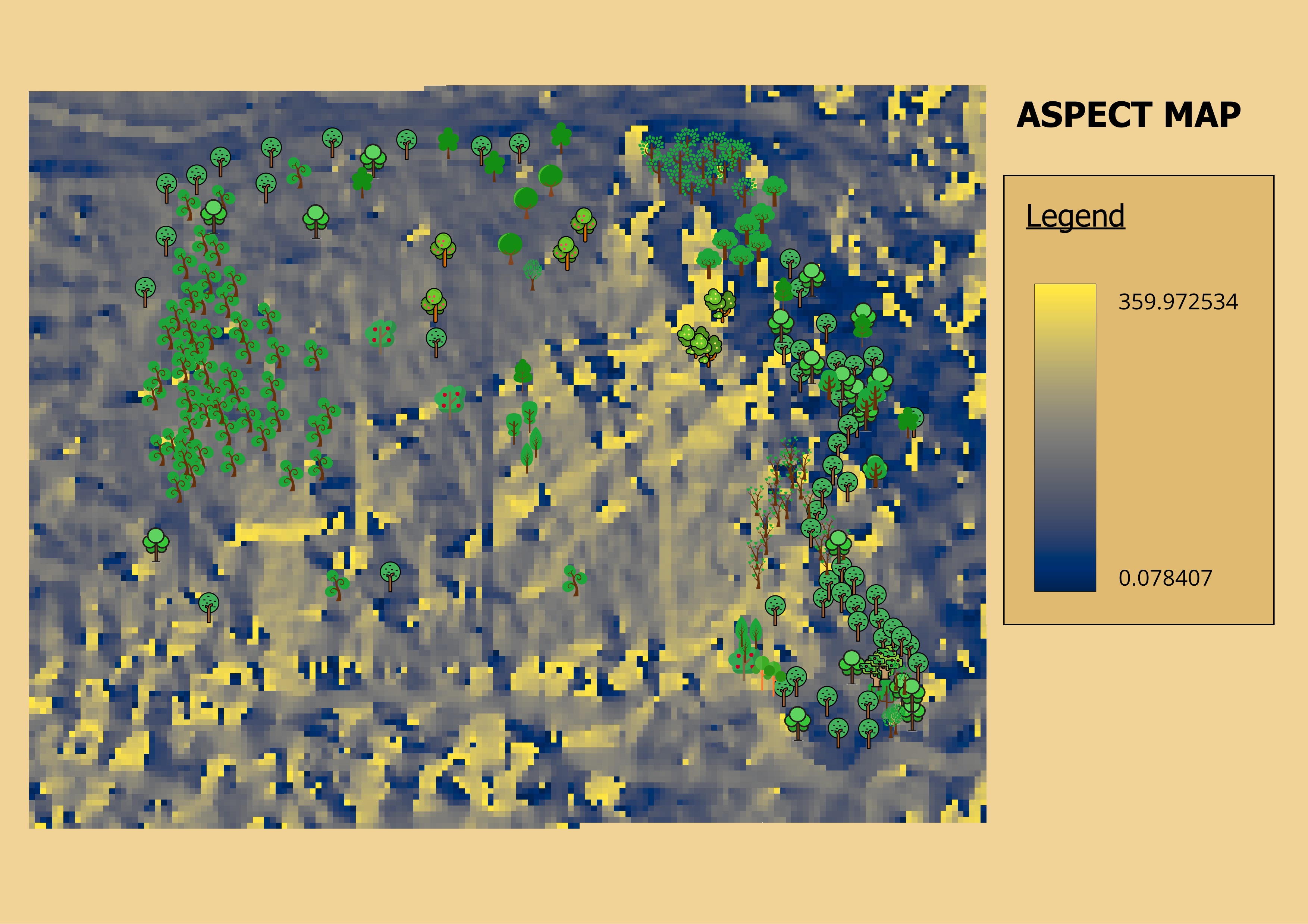
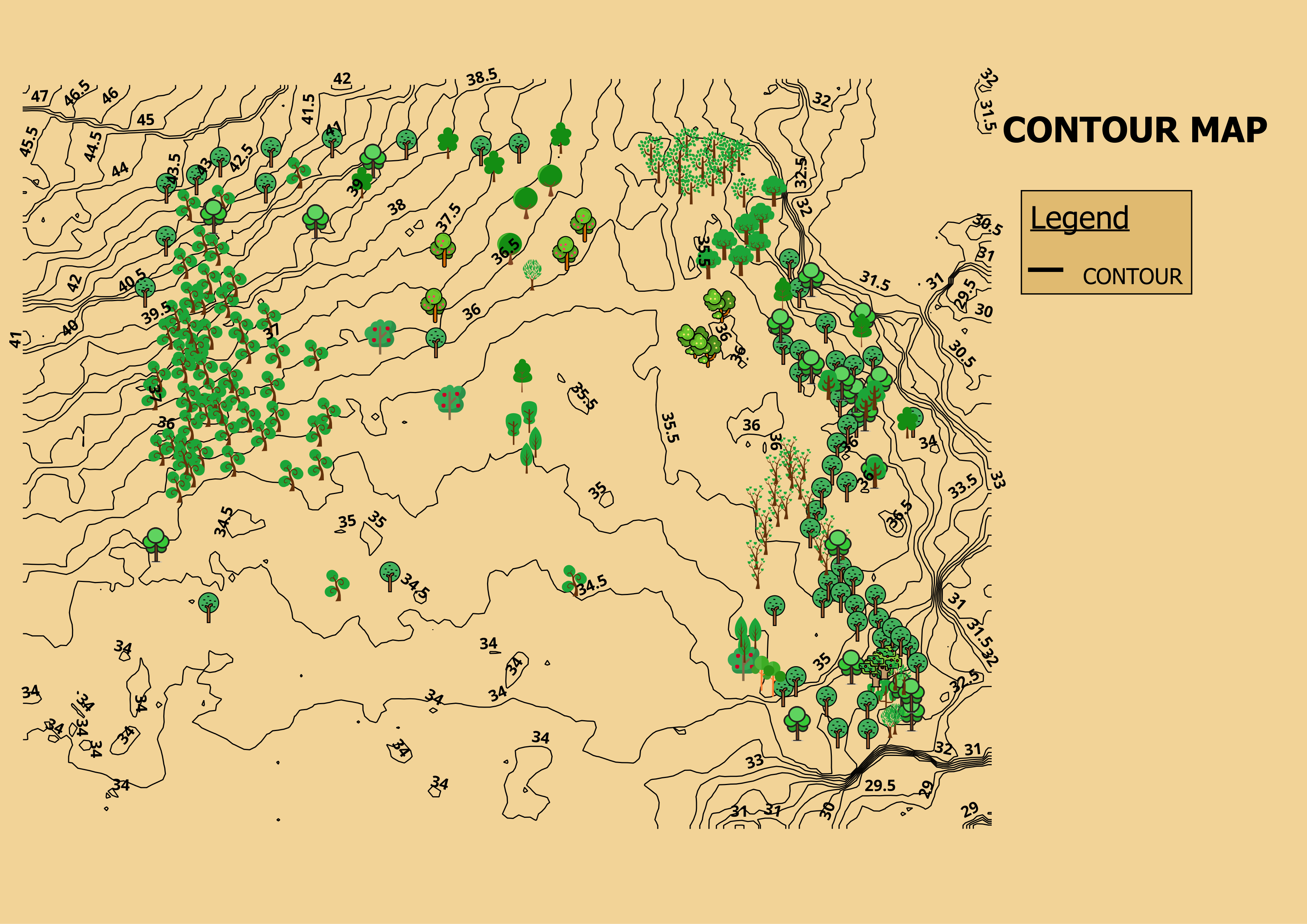
To ensure precise location mapping, data collection was conducted carefully, maintaining an accuracy range of 3 to 5 meters.
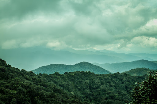
The collected coordinates were cross-checked with drone orthophotos to validate spatial accuracy.